Information about Mocha, Island and national reserve, in Chile
1 / 5
Mocha Island
Location
2 day
1 week
History
'
Historical values:
Min
Max
January
12ºC / 54ºF
19ºC / 66ºF
February
10ºC / 50ºF
20ºC / 68ºF
March
5ºC / 41ºF
22ºC / 72ºF
April
5ºC / 41ºF
19ºC / 66ºF
May
5ºC / 41ºF
15ºC / 59ºF
June
14ºC / 57ºF
17ºC / 63ºF
July
9ºC / 48ºF
14ºC / 57ºF
August
7ºC / 45ºF
13ºC / 55ºF
September
6ºC / 43ºF
15ºC / 59ºF
October
6ºC / 43ºF
16ºC / 61ºF
November
10ºC / 50ºF
15ºC / 59ºF
December
11ºC / 52ºF
17ºC / 63ºF
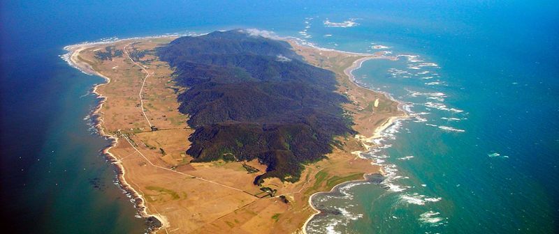
Located off the coast of the province of Arauco (Biobío Region), 34.2 kilometers from Tirúa.
Climate
The island registers a temperate humid climate of oceanic character. Rain falls throughout the year, with annual averages of 1,225 mm. and a dry period in the months of January and February, especially east of the island due to the barrier effect provided by the mountain range. The average annual temperature reaches 12.5 ° C.
Gastronomy
The gastronomic delicacies produced by the waters of Mocha Island are a true pleasure to the palate. Erizos, caracoles, jaibas y locos are the most desired by tourists.
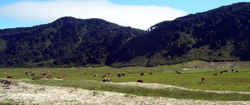
Flora and Fauna
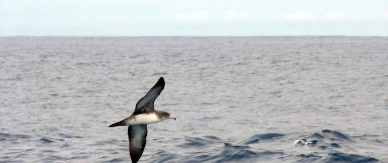
The island is covered with native forest. Mocha is home to about 102 different species of birds, including the Castilian fardela (endangered), which nests under the roots of trees.
Activities
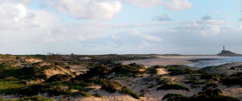
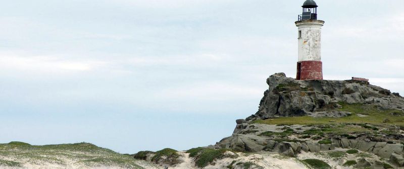
On the island you can find various forms of entertainment and it is ideal for sports such as fishing, sailing, windsurfing, diving to sunken boats or simply the collection of marine debris such as pebbles or precious shells of various shapes and colors, as well as a historic range of archaeological curiosities, the product of the numerous shipwrecks that occurred during past decades.
Other Activities
In this area of flora and wild fauna, unique in native species it is possible to traverse the Island while trekking, by two available paths that cross the mountain chain from north to south. For cyclists, the island offers various alternatives such as the circuit that surrounds the island along with the various trails within the National Reserve. Also on the island you can fly fish in the ocean, ride on horseback or enjoy watching the wildlife.
by the numbers:
Mocha Island by the numbers:
Population (2017):
800 inhabitants
Location:
Lat, Long: 38° 21.5459 S, 73° 55.4535 W
GPS Coordinates: 21º 32' 45.24" S, 55º 27' 12.6" W
+/- 619 km (384.6 mi) south of Santiago
Elevation:
190 m (623 ft 4")
Timezone:
CLT – Chile Standard Time (Current offset: UTC -4 hrs)


 Webmasters:
Tasman Web Developers,
Webmasters:
Tasman Web Developers,  Hosting: Dreamhost